This acquisition reunites what was once part of the original Tombegawoc or Deering Pond as well as the Lydston Grant.
History:
This lot comprised the southern part of the 1744 Lydston Grant inherited by the Deerings who gave their name to the pond. ridge and neighborhood. The southeastern corner of this lot is marked “Lidson’s Corner” on an older deed. Much of the original grant was sold to a number of people. John Chadbourne owned this lot and an adjacent 100 acres in the late 1700’s. Curtis Batchelder also was an owner. The Carpenter family owned the lot at one time. More recently David and Laura Nickerson were owners when Central Maine Power purchased the lot as mitigation property for their transmission line construction and donated it to the land trust. Other than cutting of trees at various times, probably no other use has been made of the land.
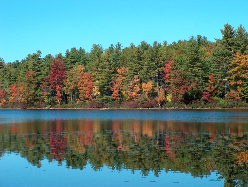
The wetland on this property was a southern extension of Deering Pond before the rail-road construction separated the two in 1870. The rail bed effectively prevented direct flow of water to the pond from this area and resulted in the development of a complex, seasonally flooded wetland that is well above the level of the pond today. During construction of this section an unloaded flat car sank beneath the gravel fill and peat, taking the newly laid rails with it. More gravel was added to the spot and new rails were put down.
Significance:
In most years 18 to 24 inches of water covers ten or more acres during the fall, winter and spring. The area slowly drains dry by late June or early July. This cycle of alternate inundation and exposure of the wetland substrate undoubtedly is responsible for the accumulation of organic matter and the mosaic of plant communities not found on the Deering Pond side. A major part of the wetland consists of a sphagnum moss lawn with scattered stunted red maples. At the base of each maple is a cluster of various shrubs. In another spot a dense can of blueberries, native hales, male berry and other tall shrubs dominate. The eastern edge has a mix of grasses, shrubs and red maple trees. En the more open areas graminoids, herbs and heath shrubs prevail.
According to the Maine Natural Areas Program and US Fish & Wildlife Service this wetland has high value as habitat and a potential for a high diversity of species. Perhaps the most significant aspect on this reserve is the seasonal flooding that creates a large enduring ephemeral pool. The presence of myriads of breeding wood frogs and juveniles along with occasional sightings of salamanders suggest this is a significant vernal pool. Additional study is needed to verify this. Easy access to the site from the Sanford Rail Trail makes this an ideal outdoor laboratory for student studies. Any number of research projects are possible.
Management Plans:
The covenants and restriction that come with the deed prohibit a variety of activities. Among them is timber harvesting. Since the riparian area is important to the life cycles of many wetland creatures, active management would not be carried out anyway. Thus, management activities will consist of removing hazardous trees along the rail trail, repairing ATV damage in the northwestern corner and removing trash.
Directions:
- About one quarter of a mile on a gravel road from Deering Neighborhood Road parking area to the east side of Deering Pond in Sanford, Maine.
- Just over a mile from Oak Street where the Sanford Rail Trail crossed Hansons Ridge Road. One third of a mile from the parking area to the reserve.
Parcel information:
Sanford Tax Map R5, Lot 18A
York County Registry of Deeds BK 16496, PG 146
